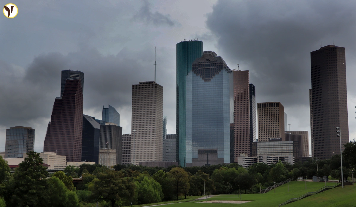
It’s been really hot in Houston lately. Like, the kind of heat where you walk outside and instantly feel sweaty. Highs are hitting the mid-to-upper 90s, and the humidity just makes it worse. And even though it’s not totally stormy here, we’re still seeing some pop-up showers and rumbles of thunder here and there. Honestly, it feels like the kind of week where you don’t know what the weather’s going to do next — one minute it’s sunny, next minute it’s pouring.
What’s wild is that even though the worst of the storms are farther north — up in places like Dallas and Oklahoma — Houston’s kind of stuck in this humid zone where quick storms can still hit. So, if you’re heading out, maybe bring a small umbrella or at least check the radar first.
North Texas got slammed with storms, but Houston’s not in the clear
Now, just to clear things up, Houston didn’t get the worst of it. But folks in North Texas? Totally different story. Some serious storms rolled through there — we’re talking massive hail, crazy strong winds (like, over 70-80 mph), and even tornado warnings. A few power outages too. There were reports of hail as big as baseballs, which is honestly terrifying.
Even though that’s up north, these weather systems can still push south or mess with our local conditions. It’s not something to panic about in Houston, but it’s a good idea to keep your phone alerts on and maybe avoid the roads when the clouds roll in.
Here’s what Houston should expect over the next few days
Alright, so what does the week actually look like?
-
You’ll probably see a mix of sunshine and sudden storms, mostly in the late afternoon or evening.
-
Temps are staying high — think 94°F to 96°F most days.
-
There’s a small risk of flash flooding in low areas, especially during heavy bursts of rain.
-
Mornings might start off kind of cloudy or muggy, and then things heat up fast.
The biggest thing is that the weather’s just a little unpredictable right now. It’s not full-on severe, but it’s definitely not smooth sailing either.
Simple tips to deal with this kind of weather
Look, we’ve all lived through Houston summers, so this isn’t totally new. But with these pop-up storms and random heat waves, it doesn’t hurt to be a little extra careful:
-
Drink way more water than you think you need.
-
If you can, stay inside during peak heat hours — like 1 to 4 PM.
-
Watch for flooded streets when it rains. Don’t risk driving through water.
-
Follow local weather updates. Sometimes a “quick storm” turns into something messier.


