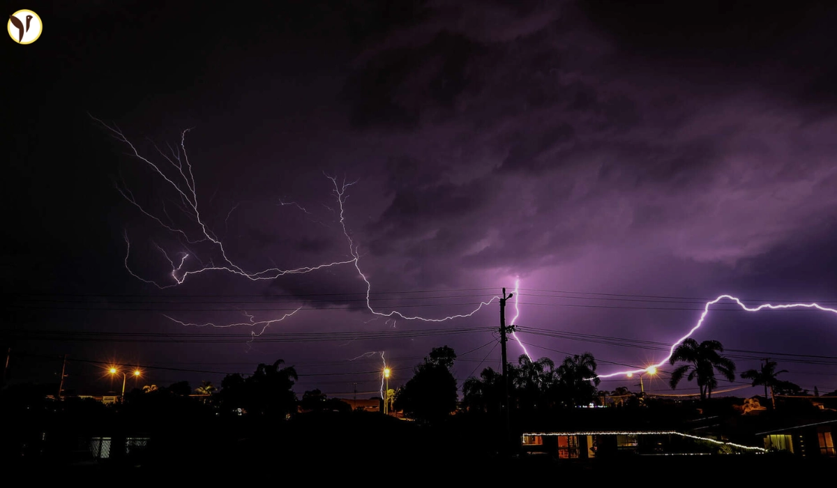

Storms rolled in late Monday and honestly, they packed a punch. People were sharing photos and videos on KSAT Connect, and you could really see how intense it got—flashes of lightning lighting up the sky and hail just bouncing off the ground like crazy. It wasn’t your everyday rainstorm, that’s for sure. The kind of night where you definitely stayed inside and hoped your car was parked somewhere safe.
Rainfall Was Heavy, Especially in Some Spots
According to KSAT’s weather team, most parts of San Antonio got anywhere from one to three inches of rain overnight. But it wasn’t even across the board—places like Helotes and Seguin got hit harder, with over three inches of rain. That’s a lot, especially in a short amount of time. It’s the kind of storm that helps with the dry spell we’ve been in, but still, it comes with its own issues like flooding and messes to clean up afterward. People in lower-lying areas probably woke up checking their yards or streets for damage.
Hail and Wind Caused Some Trouble
Besides the rain, the storm brought strong winds and hail in a few neighborhoods. Some people dealt with property damage—mostly broken windows or dents on cars. One of the bigger problems was along Highway 90, where the access road had to be shut down for a bit. KSAT’s reporter Patty Santos was out there, and you could see the kind of problems the storm left behind. Honestly, it wasn’t a long-lasting storm, but it did enough damage to cause some real headaches for people.
Things Are Calming Down Now
The good news? It looks like the worst is over. Meteorologists say any leftover rain is going to clear out by this morning. We might even see a bit of sun later today, which is nice. Temps should stay below the usual peak, with highs around 90 degrees—so not as bad as it’s been lately. After a night like that, a quieter, warmer day actually sounds kind of perfect. Hopefully no more surprises in the forecast, at least for now.