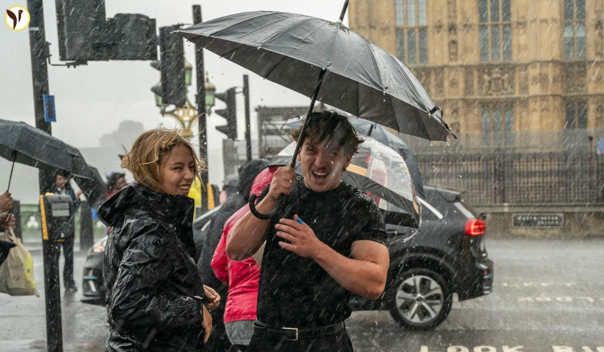

The UK is facing a notable change in its weather. After one of the driest starts to spring in nearly 60 years, the Met Office has issued warnings for thunderstorms and the possibility of brief tornadoes, especially across southern and southeastern parts of England.
Weather Shift Brings Thunderstorms and Tornado Risks
The Met Office has alerted the public about the unusual chance of funnel clouds or short-lived tornadoes forming due to current unstable weather conditions. Though tornadoes are uncommon in the UK, meteorologist Alex Burkill explained that given the strong storms and heavy rain in the South East, such events are now a real possibility.
This change in weather comes as a cold front moves down from eastern Scotland to the eastern coast of England. This front has brought cloud cover and rain overnight, marking a shift away from the stable, high-pressure conditions that have dominated the spring so far. The atmosphere is now more unstable, increasing the chances of severe weather like thunderstorms and tornadoes.
What This Means for Residents: Safety Tips and Precautions
The unsettled weather is not only bringing the threat of tornadoes but also heavy rain, strong winds, and frequent thunderstorms. People living in the affected regions are advised to keep an eye on weather updates from the Met Office and local authorities.
It is important to take simple safety steps such as securing loose objects outdoors, avoiding travel during severe storms, and preparing for sudden weather changes. The Met Office continues to monitor the situation and will provide new information if conditions worsen.
This weather change is a reminder that even after a long dry period, the UK’s weather can quickly turn. Staying informed and prepared will help everyone stay safe as these storms pass through.